
Reno Neighbors Block Sources
Public sources answer different questions about a Reno block. The map defines parcels that touch the starting parcel. Assessment data names an owner or trustee and shows a situs address. City layers identify whether the property is inside Reno, Sparks, or unincorporated Washoe County. Civic sources explain a ward or local meeting structure. Those are useful local facts, but none is a complete list of everyone living nearby. Keep source limits visible as each record is compared.
| Source | What It Shows About a Block | Access |
|---|---|---|
| Washoe Regional Mapping System | Address, street, intersection, parcel search and adjacent parcel polygons | Public map viewer |
| Washoe Assessor CAMA | APN, situs, owner or trustee, mailing fields, and parcel links | Public assessment search and office contact |
| City jurisdiction layers | Reno limits, Sparks limits, county boundary, wards, annexations, and SOI | Public City ArcGIS service |
| Voter sources | Registration and precinct information subject to statutory protections | Official lookup or county voter-list process |
| Engage Reno NABs | Ward-oriented meetings, feedback, and community geography | Public city program |
An owner field identifies the recorded tax owner or trustee, not necessarily a person at the parcel. The owner mailing address can be elsewhere. A single parcel can have more than one street address, while a unit can share a parcel with other units. The immediate block is therefore best understood as adjacent mapped parcels first, then as separately limited public-record relationships.
Map Reno Neighbors in WRMS
The Washoe Regional Mapping System, or WRMS, provides address, street, street-intersection, and parcel-number search modes. Enter a complete parcel number before using the parcel option. Locate the starting address, use identify on its polygon, and pan across the polygons that meet its edges. Its layer controls include Parcel ID Number, or PIN, Address Number, Neighborhood Code, and parcel layers. The map’s parcel, assessment, tax, FEMA, and related-document categories help separate physical adjacency from a similar mailing label or ZIP.
The WRMS parcel viewer is the official map surface illustrated here.
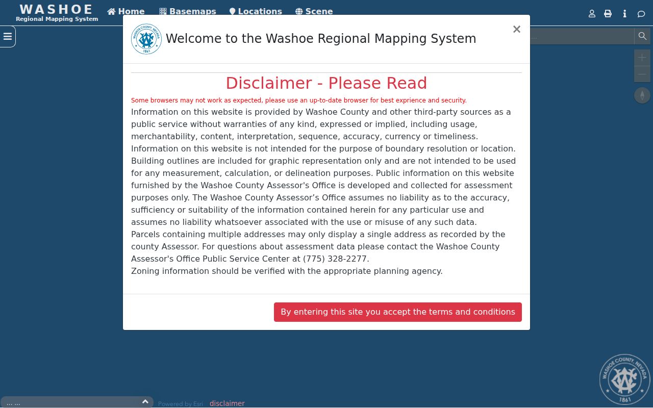
WRMS is a map and parcel-identification tool. Its nearby polygons create a defensible block boundary, but they do not turn the map into a household roster. The recorded parcel identifier, called an APN in Washoe County, is the useful key for the Assessor and Recorder.
WRMS also offers measurement, coordinate, save/share, and PDF-export tools. Its own disclaimer says it is not for boundary resolution or location decisions, and building outlines are graphic only rather than a measurement or delineation source. Use its map to identify the record trail, then confirm a zoning, boundary, or parcel question with the office that holds authority for it.
Note: WRMS searches and map layers can change, so record the access date and verify a parcel question with the responsible county office.
Mapping Reno Neighbor Parcels
Use this process to trace the immediate physical block. It keeps an address, a parcel, and an owner record in their proper roles. The wider chain for a named street has different steps and is covered by the Reno street directory.
- Search the starting street address in WRMS and select the parcel polygon that contains it.
- Identify the polygons that directly adjoin it, then save each displayed APN or PIN and situs address in a private research note.
- Open the matching Assessor CAMA records to review owner or trustee, mailing fields, and parcel links.
- Use a Recorder search only after a party name and approximate year are available, since Recorder searching is by name and year rather than street address or APN.
- Check City jurisdiction and ward layers before calling the parcel a Reno record or assigning it to a city service area.
The CAMA card separates the situs field from the owner or trustee mailing address. A trust, estate, company, or care-of line may appear as owner. It is a recorded assessment relationship, not evidence that a particular person is the current household member.
Reno Neighbor City Boundaries
Postal labels can hide the governing boundary. The City of Reno’s public jurisdiction service includes Reno city limits, the sphere of influence, annexations, wards, Sparks limits, and the county boundary. Compare that map layer with the parcel location before using a City office, City permit record, or ward reference. A Reno mailing address may be outside city limits, and a nearby parcel can belong to Sparks or unincorporated Washoe County.
The Reno jurisdiction layers show the geographic categories used to settle that question.
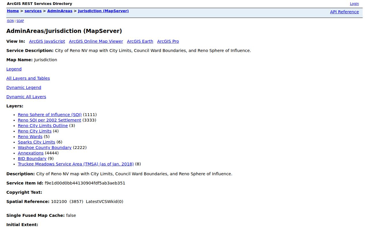
These layers also explain why an older parcel record can carry a different city or county association after an annexation, boundary change, or parcel update. A map boundary should be checked against the relevant custodian before it is used for a formal record request.
Reno Neighbor Civic Geography
Ward and precinct information adds civic context to a block without identifying a household. Reno has six wards since 2024, while older material may use the former five-ward arrangement. Washoe County also has eight Citizen Advisory Boards for unincorporated areas, including North Valleys, Spanish Springs, Sun Valley, West Truckee Meadows and other community areas. Those labels can help resolve local geography when a parcel and a mailing city do not neatly match.
Voter registration is generally public under Nevada rules, but address access has protections. NRS Chapter 293 has a county voter-list route with statutory payment and use restrictions. The state lookup is designed for registration information, not a block-by-block resident list. A confidential voter can suppress a residential address and phone, and a Confidential Address Program participant can have protected status or a substitute address.
The Washoe confidential-voter page explains the address-suppression boundary.
A missing or blank voter address is not a signal to reconstruct it from other records. Precincts and wards describe electoral geography, not who belongs in a household.
Reno Neighbor NAB Meetings
Engage Reno uses Neighborhood Advisory Boards, or NABs, for ward-based meetings and project feedback. These are useful public places to learn the civic name and issues attached to an area. They are not association membership lists or proof that someone attends a meeting. A comprehensive official citywide HOA or member directory was not located, so an unofficial roster should not be treated as a substitute.
| Reno civic area | Documented meeting detail |
|---|---|
| Ward 1 | Second Monday, 5:30 p.m., City Hall. |
| Ward 2 | Third Tuesday, 5:30 p.m., Moana Nursery, 1190 W. Moana. |
| Ward 3 | First Tuesday, 5:30 p.m., City Hall. |
| Ward 4 | Third Thursday, 6:00 p.m., Stead Community Room. |
| Wards 5 and 6 | Reno has six wards, but a current schedule for these wards was not located in the reviewed meeting document. |
The Engage Reno NAB page is the city source for this public meeting system.
For current dates, locations, or project feedback, confirm with Engage Reno or the listed city contact rather than relying on an older ward document.
Note: A NAB meeting location identifies civic geography only and does not establish a person’s address, membership, or presence at a meeting.
Reno Block Record Comparisons
Official records have defined custodians, fields, and correction paths. Commercial neighbor-finding categories often combine data from many sources, without showing when a relationship was recorded or whether the parcel is inside the same jurisdiction. For a block question, the official map and parcel record are easier to test because each field can be traced back to the responsible office.
| Official record route | Commercial neighbor-finding category |
|---|---|
| Shows the custodian, source type, parcel or case context, and documented access limits. | May mix old and current entries from unclear sources or dates. |
| Offers an office, map, or request path to check a field. | May not identify a correction route or original record. |
| Separates owner, situs, ward, and voter-status concepts. | Can blur those separate relationships into a single name result. |
For historical context, the Downtown Reno Library’s directories and newspapers can supply dated snapshots, but they also do not establish a current household. Match the date and record purpose to the question instead of merging every name on a block.
Reno Neighbor Agency Warnings
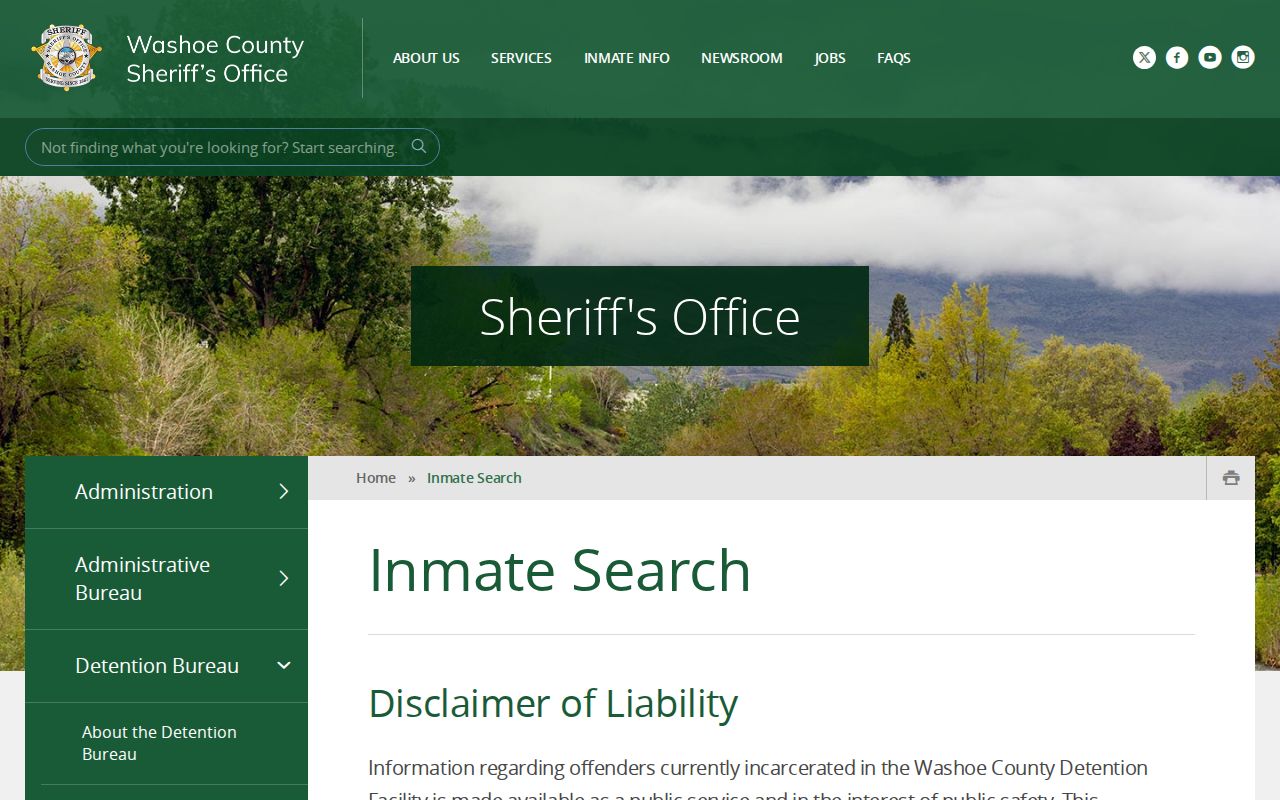
Custody and registry systems serve limited public-safety purposes and should not be used as ordinary neighborhood tools. The Washoe Sheriff inmate search is for current inmates only, updates about every 15 minutes, and directs users to verify custody with the Sheriff. It is not a historical record and should not be used to draw conclusions about a person or a block.
The Sheriff current-inmate search displays its access terms and verification warning.
The Nevada registry conditions likewise limit the public information and warn that a result is not positive identification. Use that official tool only for its stated lawful safety purpose, never to label a neighbor from a name or an address match.
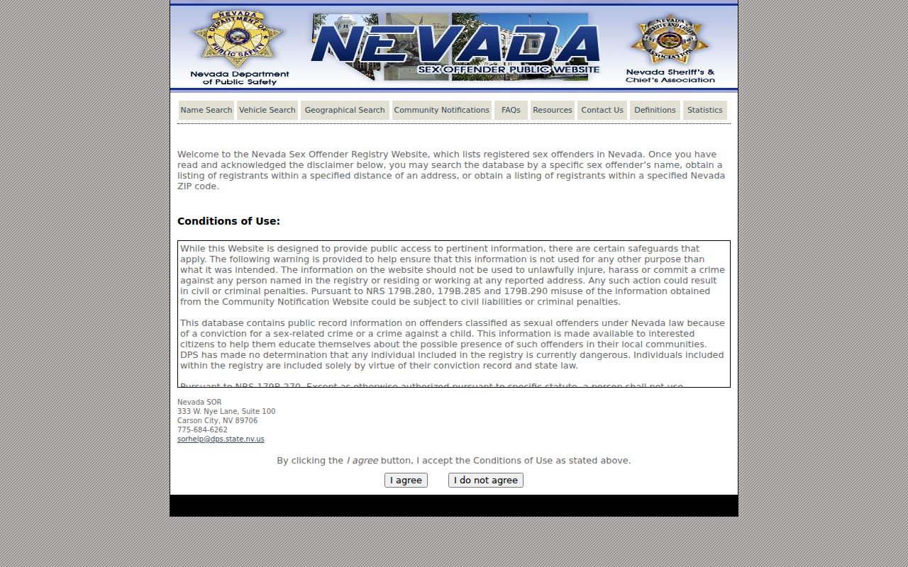
Agency terms, update limits, and identification warnings remain part of the record context. They prevent a sensitive source from being treated as a general block directory.
Reno Neighbor Privacy Limits
Nevada records are not one universal directory. NRS Chapter 239 opens many government records, but specific confidentiality laws, court protections, and agency rules can restrict access. The Recorder’s public index is separate from its account-gated document images. Vital records have direct or tangible-interest rules. A court record may be sealed. Utility and delivery data are not public block sources. Do not infer a missing record, protected address, or changed status from silence in a search result.
Use a source link rather than copying sensitive data. When a parcel record appears wrong, ask the Assessor, Recorder, or mapping office about its own correction or record process. When safety or address protection is involved, preserve the safeguard and contact the responsible court or program.
Lawful use. Use Reno neighbor records for personal, lawful research, local history, civic context, or checking your own information. Never use them to stalk, harass, intimidate, surveil, or expose a protected person.