
Finding People Along a Reno Street
Start a street search with the house number and the spelling on the address. The address route is a chain: the map identifies the parcel, the assessment card gives a situs and owner lead, and the Recorder ties parties to recorded instruments. A voter or historical directory entry can add a dated civic or household clue, but neither is a promise of present occupancy. Keep the address, APN, date, and source together while comparing results.
- Enter the address in Washoe Regional Mapping System and identify the parcel. Use Street or Street Intersection mode when only part of the address is known.
- Open the same parcel in Washoe County Assessor CAMA. Record the APN, situs, owner field, mailing field, last document date, and any sales or transfer row.
- Pan across the street in WRMS and click each adjoining polygon. A street result is a starting point, not a complete inventory of a block.
- Use a grantor or grantee name and an approximate year in the Washoe County Recorder index to follow the recorded-interest trail.
- For a past household, compare a directory or newspaper year with the address sequence. The historical collection is described in the Reno Directory Book.
Note: A parcel owner, a mailing recipient, and a resident can be different people, so treat each as a separate kind of connection.
Reno Street Parcel Fields in CAMA
CAMA is the main address-facing stop in the Reno parcel workflow. Its search boxes accept an optional owner name, APN, or situs/address. The percent sign works as a wildcard for an owner-name variation, as in J%Doe. A street search should use the situs field, then each result should be checked one parcel at a time. The resulting owner is an assessment lead, not a declaration that the named party lives there. Reno users should keep the CAMA result date with the parcel number.
| CAMA field | Where it appears | How it helps a street search |
|---|---|---|
| Owner name | Optional search and result column | Offers a party lead; wildcard variants are allowed. |
| APN | Optional search and property card | Connects the map parcel to assessment and document research. |
| Situs/address | Optional search and result column | Locates the property along the Reno street. |
| Last Doc Date | Second result grid | Supplies a date lead that should be identified before treating it as a deed date. |
| WRMS and Parcel Map | Result links | Moves the search back to spatial context and parcel material. |
| Status | Second result grid | Shows the portal status field; the captured research did not enumerate its values. |
The Reno property card separates owner or trustee information from situs and mailing address groups. It can also show transfer rows with grantor, grantee, document number, document type, and document date. Building, land, permit, valuation, and tax information are assessment material. Confirm Reno questions outside assessment with the relevant office.
The CAMA search surface shown below makes its APN, situs, and owner controls visible. Use those controls to form a parcel trail, rather than treating the screen as a resident list.
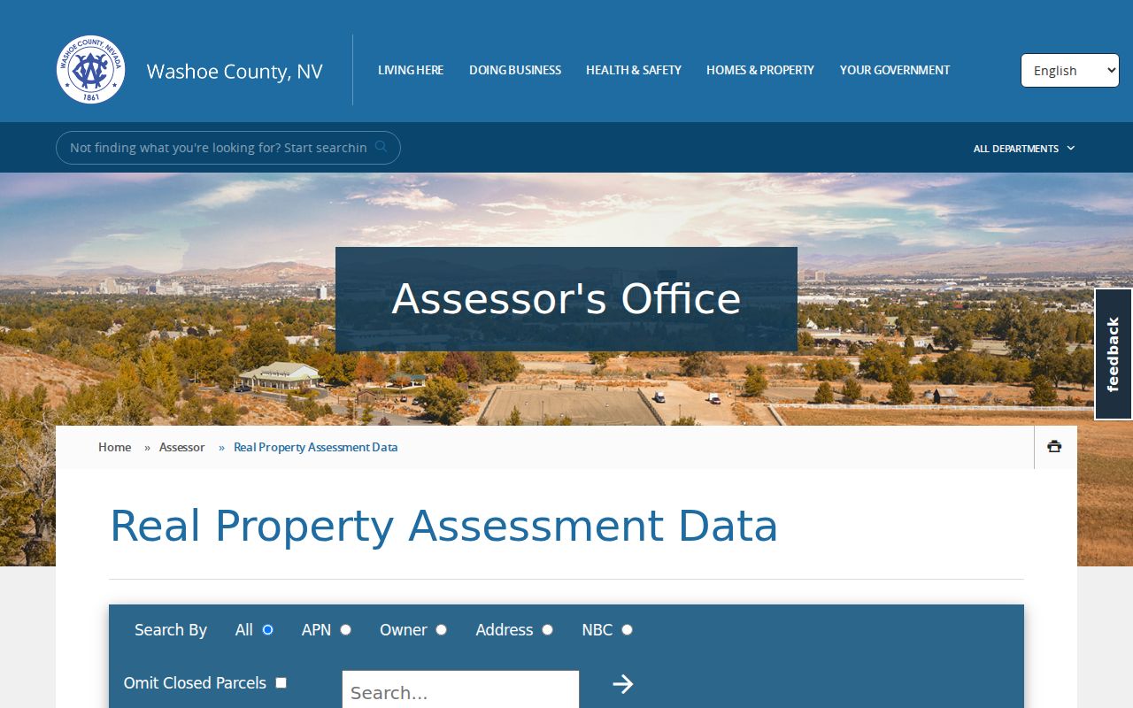
The Reno result headings support the practical split between a street location, a parcel identifier, and the party shown on an assessment record.
Reno Street Map Pass
Reno WRMS has distinct Address, Street, Street Intersection, and Parcel Number modes. Address searches provide suggestions, while intersection and parcel searches require the full entry and Search. After locating the first parcel, turn on Streets & Parcels, pan along the segment, and identify each polygon. The popup can lead to Property Assessment Data, Tax Information, FEMA Information, and Related Documents.
This is the point where Reno address research becomes a geography check. WRMS offers Streets & Parcels, imagery, street atlas, topo, and other basemaps, plus layers, measurement, coordinates, and a save/share location tool. Its Reno parcel display can use one assessor address for a parcel with multiple addresses. It also warns that building outlines are graphic and that the map is not for boundary resolution or measurement.
The WRMS parcel viewer places the search box, parcel identification, and surrounding properties in one view. Panning through the mapped parcels prevents a first hit from being mistaken for an entire Reno street segment.
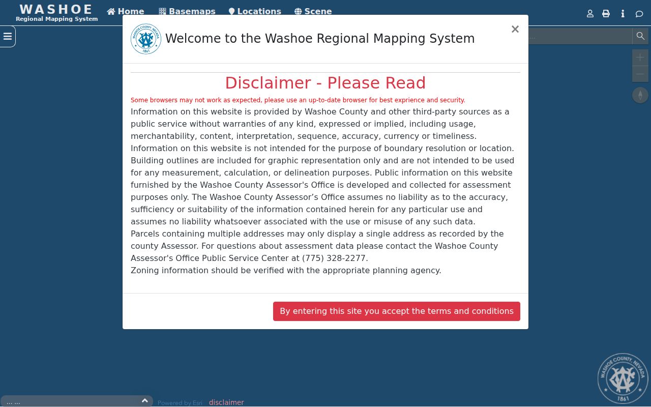
Use the Reno map to record APNs and situs locations, then move to the Assessor and Recorder for the record categories tied to those identifiers.
Reno Street Records by Address
Different custodians keep different parts of the Reno address trail. The Reno Assessor describes the tax parcel, WRMS supplies the spatial context, and the Reno Recorder preserves recorded instruments. City map layers can settle location and jurisdiction questions. Permit and code material can date an activity at an address, but it should not be read as a household roster.
| Address-keyed record | Reno-area keeper | What it can establish | Access path |
|---|---|---|---|
| Parcel assessment | Washoe County Assessor | APN, situs, owner or trustee, mailing information, transfer leads | CAMA, counter, or phone |
| Parcel geography | Washoe County GIS | Parcel shape, adjacent polygons, address and jurisdiction clues | WRMS and GIS office |
| Recorded instruments | Washoe County Recorder | Principal parties, recording data, document type, number, and book/page | Online index, counter, request channels, older microfiche |
| City parcel and limits layers | City of Reno GIS | Situs ZIP, mailing ZIP, owner ZIP, wards, annexations, and limits | ArcGIS REST services |
| Permit or code clue | City of Reno | Dated work or administrative evidence at an address | ONE, office inquiry, or public-record route |
For older or missing Reno material, use the office channel rather than assuming a record is gone. The Recorder accepts counter, phone, mail, email, and fax requests, but staff do not perform an open-ended search. A focused request gives a name, approximate date, document type, APN or address as an identifying clue, and a preferred copy method.
Reno Deed Trail by Street
The Reno Recorder is name and year based, not address or APN based. Start with the CAMA APN and the property card's sales or transfer rows. Then search the principal parties by approximate recording year. The Recorder's required name style is last name, space, first name, with no comma. If a transfer row supplies a document number, include it in a copy request even when the online index is difficult to use.
Reno-area online real-estate indexing begins in November 1991, and images begin August 16, 1999. The public index does not require login, but recorded images do. Before the index cutoff, ask for the right book or microfiche series at the Recorder counter or through its request channels. The historic shelf may help bridge a Reno date, but it does not replace a recorded instrument.
Open the Reno-area Recorder grantor-grantee index with a party name and year in hand. Its search surface is the handoff from parcel research to a document trail.
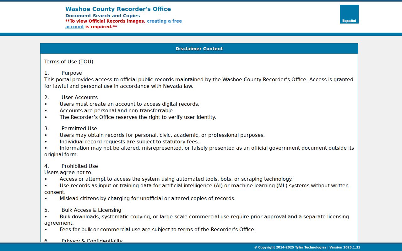
A Reno deed chain follows recorded interests, not every person who stayed at an address. Record the party role, document type, number or book/page, and recording or document date at every link.
Reno Street ZIP and Boundary Fields
Reno postal labels are not jurisdiction labels. The City of Reno parcel service exposes the exact field names SITUSZIP, MAILZIP, and Owner ZIP. A situs ZIP identifies the parcel location. A mailing ZIP describes where tax mail goes, and an owner ZIP can belong to a trustee, estate, business, or a person outside Reno. None of those Reno fields alone establishes who occupies a property.
Use the City parcel REST layer when an address requires that technical distinction. The image shows the city service that documents the ZIP fields used for an address-record comparison.
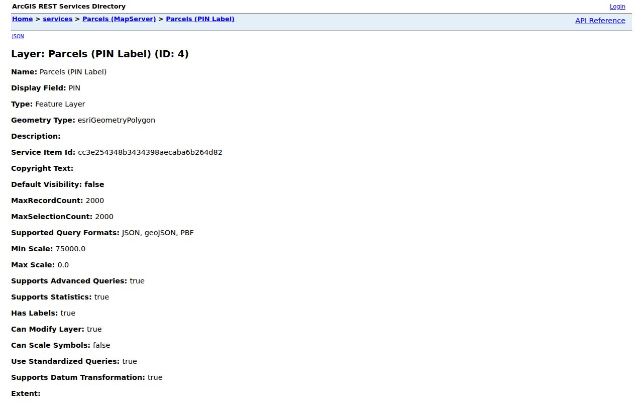
For an actual Reno delivery ZIP, use a full address in the USPS tool. For city jurisdiction, check the city-limit and annexation layers instead of relying on the mailing city.
Reno Street Jurisdiction Check
A Reno mailing address can sit beyond the incorporated city. The City jurisdiction service lists Reno city limits, old sphere-of-influence settlement, annexations, wards, Sparks city limits, the Washoe County boundary, and the Truckee Meadows service area. Nearby Sparks, unincorporated Washoe County, Washoe Valley, Verdi/Mogul, and other local places should not be relabeled as Reno without a map check.
The City jurisdiction service makes the limits and annexation layers available for that check. Postal confusion is common enough that a map layer should come before naming an address as a Reno municipal record.
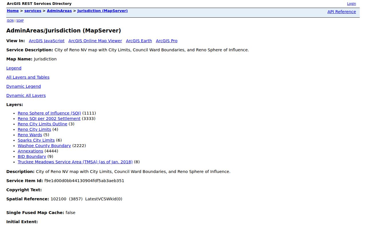
These Reno layers explain Reno geography over time. They are not a survey and do not prove legal title, current residence, or a historic house-number change.
Reno Street Address Clues from City Records
Reno building permits can place dated work at an address. Where ONE or CAMA exposes a permit, note the permit number, agency, issue date, status, type, description, estimated value, and last note. Reno's Digital Projects component handles building project documents and files from July 1, 2026, while ONE remains the application, status, and payment route. A split Reno workflow is a reason to preserve the portal and document source in notes.
Reno Code Enforcement can take an open-case inquiry with a name, callback number, and address. Its public information describes research, inspection, interview, and notice to owners or responsible parties, not a complete address-search database. Reno city public-record and police report requests can be address and date specific, with redactions possible. They are event records, not a list of residents.
Reno Street History Needs Address Variants
Older Reno searches often need more than a modern street number. The Reno historic-property method calls for street-name variants, subdivision or neighborhood searches, directory abbreviation keys, newspaper research, Sanborn maps, and address sequences. A street can appear with a directional change, a number variation, or "Street" written as "St." Compare those forms before treating an old Reno search as empty.
- Parcel
- A mapped unit of land identified by an APN for assessment and map research.
- Situs address
- The physical location recorded for the parcel, distinct from a tax-mail destination.
- Plat
- A recorded map that can show a subdivision or land division reference.
- Criss-cross directory
- A reverse directory arranged by address, useful for a dated household snapshot.
No reviewed official source gives a single Reno-wide renumbering date or a complete crosswalk. Prior APN fields, legal descriptions, plats, current Reno GIS, historic maps, and the Reno library's directory sequences are the documented route when an address appears to have changed.
Note: An online cutoff is not the end of the historical record, because pre-1991 property material remains in Recorder books and microfiche.
Limits of Reno Street Searches
A Reno street record can show a parcel, a party to an instrument, a tax mailing address, a civic status, or a dated directory entry. It cannot reliably show every occupant, a unit-level household, a protected address, or a person's current whereabouts. Multiple addresses can map to one Reno parcel, while one street address can contain several units or structures. Voter status also has confidential and Confidential Address Program protections.
Nevada records are record-specific. The Reno Recorder index may be publicly searchable while an image needs an account, and a court or voter address can be limited by a separate statute or order. If safety is at issue, ask the relevant Reno custodian or court about its current redaction, sealing, or protected-address procedure rather than trying to assemble sensitive details from a street search.
Reno Street Records Request Details
When a public portal does not answer a narrow Reno question, direct the request to the office that holds the record. Under Nevada's Public Records Act, NRS Chapter 239, a governmental entity generally responds by the end of the fifth business day under NRS 239.0107 by providing access, identifying another custodian, explaining its response, or stating that it has no responsive record. That timing is not a promise that every record is public.
For Reno Recorder material, give the principal party, approximate year, document type, and document number or book/page when known. The Recorder's counter, phone, mail, email, and fax channels provide alternatives to the web index. For Reno parcel and map questions, contact the Assessor or GIS office with the APN and address. A precise request respects the distinction between asking for an existing record and asking staff to create a new street analysis.