
Reno ZIP Service Areas
These are Reno-area mailing ZIPs, not a claim that every address in a row is inside incorporated Reno. The county map, local ZIP material, and archived USPS schemes support the area notes below. Use a current address result before assigning a ZIP to one street. The post-office column describes the archived Reno grouping where the research documented one, rather than naming an unverified retail station.
| ZIP Code | Areas covered | Post Office | Notes |
|---|---|---|---|
| 89501 | Downtown and central Reno | Reno grouping in archived USPS scheme | Historic/core area; confirm the street. |
| 89502 | East and southeast Reno | Reno grouping in archived USPS scheme | Common mailing ZIP, not city-limit proof. |
| 89503 | Northwest and north Reno | Reno grouping in archived USPS scheme | Pair with WRMS and jurisdiction layers. |
| 89506 | North Valleys and Lemmon Valley context | Reno-area mailing geography | Can extend into county territory. |
| 89508 | Cold Springs and northwest context | Reno-area mailing geography | Large area; use an exact address. |
| 89509 | Central and southwest Reno | Reno grouping in archived USPS scheme | Not a ward or city-limit boundary. |
| 89511 | South Reno and Galena context | Reno grouping in archived USPS scheme | Check parcel and city layers. |
| 89519 | Southwest, South Meadows-adjacent context | Reno-area mailing geography | Use address-level confirmation. |
| 89521 | South Meadows and South Reno | Reno grouping in archived USPS scheme | City boundary still needs checking. |
| 89523 | West and northwest, Somersett/Verdi-adjacent | Reno grouping in archived USPS scheme | May include the county edge. |
| 89515, 89520, 89533 | Reno PO, unique, or special delivery context | Archived Reno scheme | Confirm with the full USPS address lookup. |
| 89553, 89557, 89570, 89595, 89599 | Reno-area special or unique ZIP context | County ZIP material or archived scheme | Exact-address confirmation only. |
Nearby 89431, 89434, and 89436 are Sparks or Spanish Springs geography; 89439 is Verdi/Mogul; 89441 is a county-area label; 89451 is Incline Village; and 89704 is a Washoe Valley or Carson-area edge label. Metro proximity and a shared search result do not convert those places into Reno records.
Reno ZIP Address Check
The current delivery assignment comes from USPS, not from an archived scheme or an approximate neighborhood label. Enter the full street address, city, and state in the official tool. USPS explains that a ZIP supports delivery and address standardization, while ZIP+4 adds a delivery segment. Neither is a parcel boundary or an identity record. The research did not capture a populated Reno result from the dynamic service, so avoid assuming the format or ZIP+4 for a particular street.
Use the USPS ZIP Lookup for the address-specific check. Its search interface is shown below, but the live tool supplies the delivery result.
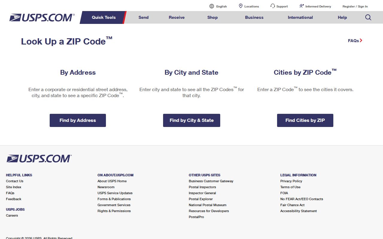
Once USPS confirms the Reno mailing ZIP, use the Reno parcel map and city layers to answer the separate question of where the address lies.
Reno Postal Geography by ZIP
ZIPs, Census ZCTAs, and city limits answer different questions. A USPS ZIP is a delivery geography. A Census ZCTA is a statistical approximation of ZIP delivery areas, built from 2020 Census blocks; it can be noncontiguous or include enclaves. Reno city limits are municipal geography. The Reno Census profile can place several ZCTAs fully or partly in the city, but it does not establish the delivery ZIP for a specific address.
The practical order is simple: USPS for deliverability, Census ZCTA for demographic comparison, and WRMS or City GIS for parcel jurisdiction. This distinction matters around North Valleys, Cold Springs, South Meadows, Galena, Verdi/Mogul, Sparks, and the county edge. A Reno mailing city can reach outside incorporated Reno, and a city record may need a different local custodian.
Note: A ZIP label is useful for narrowing geography, but it cannot replace the parcel, city-limit, or annexation layer when jurisdiction matters.
Reno Parcel ZIP Fields
The Reno-area Washoe Assessor CAMA portal is parcel-first. Its optional search fields are owner name, APN, and situs/address, not a documented ZIP-text filter. A result shows APN, SITUS, OWNER, Last Doc Date, WRMS, Parcel Map, and Status. Once the address has been found, inspect the property card's Reno situs city, state, and ZIP separately from the owner or trustee mailing ZIP.
| Portal field | Visible behavior | ZIP research use |
|---|---|---|
| Owner name | Optional CAMA text search; percent wildcard allowed | Lead only; owner ZIP can differ from the parcel ZIP. |
| APN | Optional exact parcel identifier | Connects the address to map and assessment data. |
| Situs/address | Optional address search and result column | Finds the parcel that should be checked against USPS. |
| Situs city, state, ZIP | Property-card location group | Shows parcel-location details. |
| Mailing address and ZIP | Owner or trustee mailing group | Shows tax-mail delivery, not the parcel location. |
| SITUSZIP, MAILZIP, Owner ZIP | City Parcel REST field aliases | Provides the explicit city technical field names. |
The Assessor CAMA property search is the address-to-parcel route used before comparing local ZIP fields. It is assessment data and should not be read as a current-resident roll.
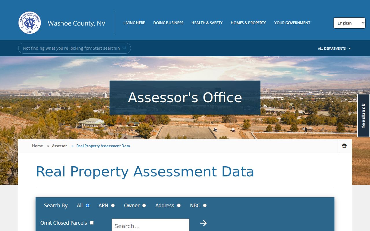
The Reno CAMA screen supports a situs, APN, and owner search. It does not document a ZIP filter that would produce a complete ZIP-wide people list.
Reno Situs and Mail ZIPs
The City of Reno parcel REST service offers a useful Reno technical cross-check after an address is mapped. Its field aliases include Street Name, SITUSZIP, MAILZIP, Owner ZIP, and a city information URL. The names make the distinction clear: one ZIP is attached to the parcel location, another may be attached to tax mail, and the owner field may point somewhere else.
The City parcel ArcGIS service documents those field aliases. Use it to explain a record discrepancy, not to infer that an owner mailing address identifies a Reno resident.
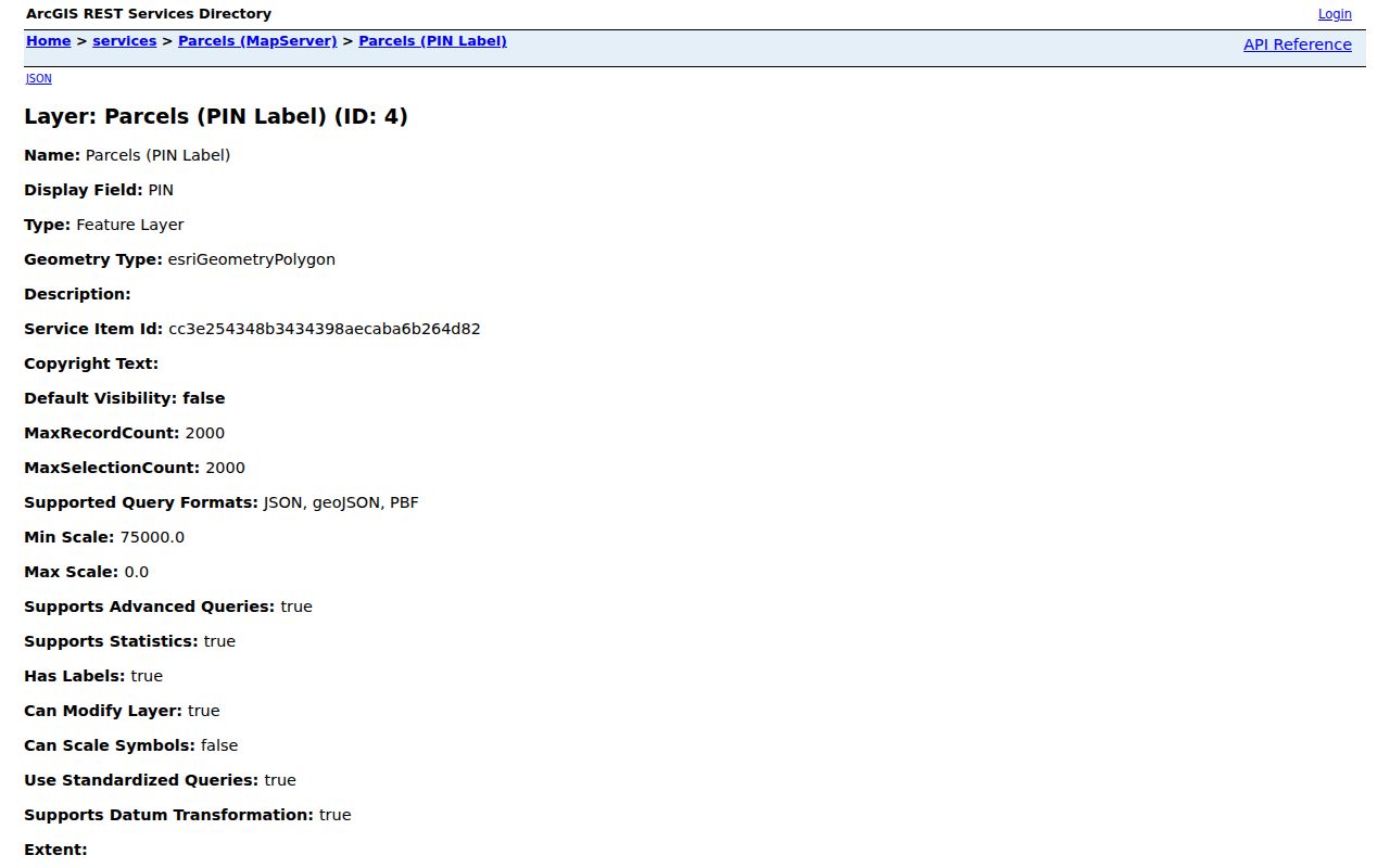
A trust, business, estate, trustee, or care-of line can appear in an owner field. That is why a mailing ZIP and a situs ZIP should never be merged into one conclusion.
Finding Reno Residents by ZIP
Use one verified Reno delivery address as the first point in a ZIP search, then move outward through records that actually expose an address or parcel. CAMA, WRMS, and the City parcel service can explain a mapped Reno location. The captured voter lookup and court search forms do not document ZIP filters. A voter list may include address and ZIP under NRS Chapter 293, subject to statutory rules and protected-voter exceptions, but it is not a general ZIP browse tool.
- Confirm the full address and delivery ZIP in USPS before assigning the location to a Reno-area ZIP.
- Search the situs/address in CAMA and record the APN, situs fields, and owner or mailing distinction.
- Use WRMS Address mode to identify the parcel and check its mapped surroundings, rather than searching a ZIP as if it were a parcel.
- Open the City jurisdiction layers when the record needs a Reno city, Sparks, or county determination.
- Use a voter record only for lawful civic verification or a statutory voter-list purpose, with confidential-address protections in mind.
After a ZIP has narrowed the area, use the Reno Street Directory for the address-by-address parcel and Recorder sequence.
Reno ZIP Boundaries and City Lines
City GIS is the final local boundary check. Its jurisdiction service includes Reno city limits, old sphere-of-influence settlement, annexations, wards, Sparks city limits, the Washoe County boundary, and the Truckee Meadows service area. It can resolve whether a postal address should be treated as a Reno municipal matter, an unincorporated county matter, or a nearby city record.
The City jurisdiction ArcGIS service displays the relevant limit and annexation layers. The service makes clear why a Reno mailing label cannot be the only boundary test.
The Reno jurisdiction layer service is shown below with the city, county, and nearby-boundary context used to check a ZIP result.
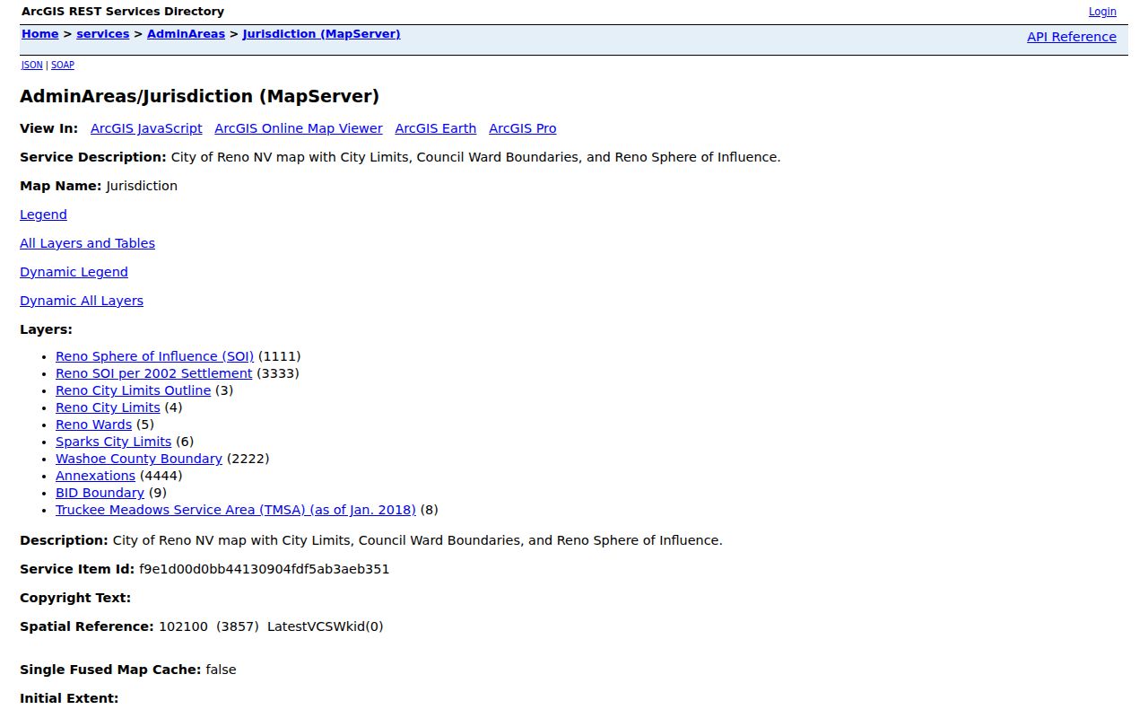
Reading the layer with the parcel and USPS result keeps a Reno ZIP code directory entry from being mistaken for a legal city-boundary finding.
A city-limit layer describes jurisdiction, while a delivery ZIP describes mail routing. Both can be true at once without describing the same geography.
Reno ZIP Search Terms
Postal terms are useful only when their scope is clear. A specific street can retain its ZIP through a street-name or number change, and a ZIP can change without altering the parcel. For historical work, compare the legal description, prior APN, plat or subdivision reference, directory address, newspaper wording, and mapped location instead of relying on ZIP alone.
- ZIP
- A USPS delivery geography used for address standardization, not a legal parcel boundary.
- ZIP+4
- An added delivery segment for a more precise mailing address, not an identity or property boundary.
- PO-box ZIP
- A postal assignment associated with box or special delivery service rather than a normal neighborhood polygon.
- Unique ZIP
- A ZIP used for a special delivery context that requires exact-address confirmation before geographic use.
- Carrier route
- A mail-delivery route that can organize delivery, but does not establish city jurisdiction or residency.
Special Reno ZIPs Need Addresses
Special and unique ZIP labels require more restraint than broad area labels. The researched Reno schemes identify 89515, 89520, 89533, 89553, 89557, 89570, 89595, and 89599 in PO, unique, special, or archived delivery contexts. They should not be drawn as ordinary residential neighborhoods or used to infer block coverage. Enter the full delivery address in USPS and then use the mapped parcel if a record question remains.
The 2004 and 2011 USPS schemes are historical references, not a current assignment promise. They are helpful for explaining why older material may show a Reno grouping that differs from a current delivery result. Date both the source and the address check when comparing a historical record.
Limits of Reno ZIP Searches
A ZIP can describe delivery geography and help select the right map or parcel search. It cannot establish who lives at an address, prove city residency, disclose a protected address, or replace the custodian's primary record. Confidential voters can have residence and phone information hidden, and a missing field can reflect a legal protection rather than a bad record.
For a record held by a city or county office, make a focused request to the custodian with the address, date range, and record type. Nevada's Public Records Act begins with access under NRS Chapter 239, but specific confidentiality laws and court procedures can limit what is available. A postal clue never overrides those limits.